Yesterday, Rick, a friend from my undergraduate days, came down on his big, fancy V-Strom 1000 from Oregon City to go riding. Chris came out from under his graduate school rock to ride with us on his Honda Rebel 250. Carl also joined to keep me out of trouble.
Starting my bike up first thing in the morning, I got a rewarding big blue cloud of smoke out of the tail pipe. That wasn’t normal! Before I turned it on, I couldn’t shift out of neutral. After I turned it on, the clutch freed up. It was a sure sign of low oil.
We all met up at the Rogers Hall parking lot and took off to NAPA where Rick bought some batteries for his GPS and I bought two more quarts of oil. My bike was low, as expected. I put about 3/4 of a quart of oil into it. At a stop light before we reached NAPA, we all womped on our throttles. Carl pulled up at NAPA choking on a big blue cloud of smoke I had left him in. He politely suggested that I keep off the throttle so I would not asphyxiate him in such a big cloud.
Highway 34 between the Highway 20 cutoff and the start of the sharp curves was under construction. The asphault had been ground down a bit, and the surface was rough and grooved. The paving job is supposed to be finished by the 12th of September. Starting into the curves, I was in the lead. I quickly realized that Rick should go first as he is much faster than me and has a bike built for serpentine asphault tracks. He zoomed off ahead, having a ball. For me, leaning my bike so far over and not being able to see the exit of the curve was rather nerve wracking. The other bikes and the cars behind me probably weren’t having the best of time going so slow, either.
Up at the top of Mary’s Peak, we all jumped off, walked around, and took some photos. My camera’s batteries died so I will be relying on Rick for pictures of the day. We checked my oil level before heading down and found it to be right on the money.


Chris peeled off from the group as we rode through Corvallis to head back home. His little 250cc single banger just isn’t cut out for long distance highway driving. At the I-5/Highway 34 interchange, we pulled off at the Chevron to gas up and get some food at the attached A&W. The service at the restaurant was rather slow. My bike’s front tire also needed air. Since Carl and I filled it up in Pullman, Washington a few weeks back, it had gone from 40 psi down to 10 psi. I really need to get that leak fixed soon. It makes a very big difference cornering depending on how well it is inflated.
Back on the road, we went up through Lebanon and hooked around onto Highway 20. I accidentally went straight at a stoplight where Rick and Carl turned left. I didn’t notice Rick’s left turn blinker and must have missed his hand sign because I thought we were just going straight. After a few minutes of getting turned around and back onto the highway, we rode on to where Highway 226 cuts off to Mehama. This particular highway is where Carl had his accident last year. He took it easy riding in the rear through the section where his bike met the pavement on that previous excursion.
In Mill City, we jumped onto Highway 22 and raced through the long curves to Detroit where we filled up with gas at the little station. Carl took the 1 gallon Jerrycan that I had been carrying dry on my bike and filled it up with gasoline for the upcoming trip along the Cascade Scenic Byway. He was a bit worried about the distance and if he’d end up running out of gas or not before we got to the next station. In the end the extra gas was for naught but the peace of mind it bought was worthwhile.
With the jerrycan strapped to Carl’s passenger seat with a few bungee cords, we were off up the highway. I was at the rear with Rick in the lead and Carl next. No more than 500 feet from the gas station, I watched as the jerrycan took a tumble off of the back of Carl’s bike, hit the pavement, and flipped and spun end over end down the road and into the bushes. A teenager walking along the side of the road jumped down into the ditch and grabbed the can, turning it upright to squelch the flow of gas from the open nozzle. The cap had come free during its rapid deceleration. I stopped immediately when I saw the can tumble. Carl and Rick didn’t realize for another few seconds. They turned around and came back to help me and the teenager search the bushes for the cap. Rather than risk dumping the gas again, Carl gave the can to Rick who attached it to his passenger seat.
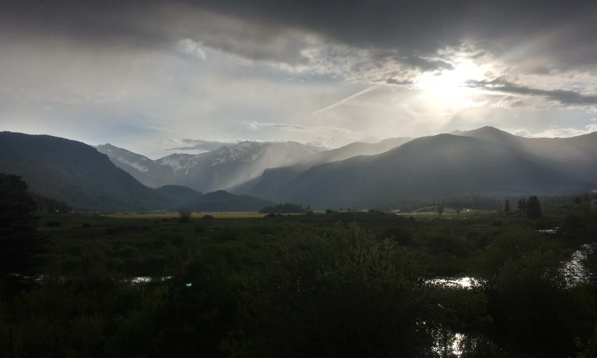
The Cascade Scenic Byway (also known as Forest Service Road 46 and the Clackamas River Highway at different points) connects Highway 20 with Highway 211 and Highway 26. It is a wonderfully beautiful route through the Cascades that winds along past Breitenbush and follows one of the forks of the Santiam River before popping over the hills and down to follow the Clackamas River out to Estacada. The road is practically a freeway with long, well-banked curves and smooth, nearly pothole-free pavement. The occasional Winnebago slows down progress but in general, the route is clear and sailing is smooth.
Out of the mountains, we took a break at Rick’s house in Oregon City. This was the first time that I had the opportunity to see Rick’s new house. The inside is quite nice and the yard is starting to take shape. After re-hydrating, Carl and I hit the road again to head back down to Corvallis.
The trip down I-205 and I-5 was a nice respite from the twisties of the mountains. The sun set in the west, burning orange on the horizon. We paraded down the freeway in grand style, merging with other groups of riders periodically and then pulling apart, going on our separate ways. In Corvallis, Carl and I parted to go our separate ways. The ride was fantastic. About 300 miles later, I have to say that I fully enjoyed myself.
Gas/Milage Info
- Chevron at I-5 and Highway 34: 106.6 miles on 2.018 gallons for $7.59 total. 52.8mpg.
- Corner gas station at Detroit: 70 miles on 1.3 gallons for $5.20 total. 53.85mpg.
- 76 gas station in Oregon City: 93.4 miles on 1.715 gallons for $6.31 total. 56.2mpg.
Route map.