 The Mega Magnolia Transect was born late last week when I was looking at maps of 4×4 trails near the Metro Denver area and realized that there are many trails that link up together between Nederland and Idaho Springs. Usually I would only do one or two trails in a day but looking at the map, I figured that I could do several all linked together. Thus I set out in the morning for the northern end of the West Magnolia trail. My goals were to 1) see the fall colors and 2) see how far I could go in a day.

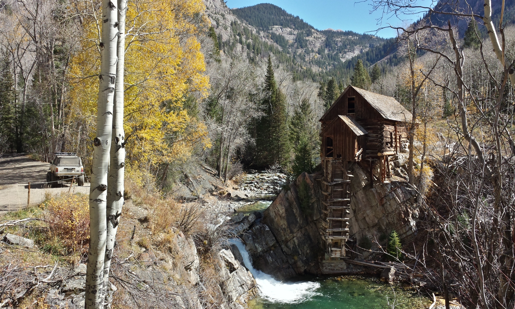
There was a lot of great color on West Magnolia. Also there were some new waterbars built recently that make it a more challenging road than before.


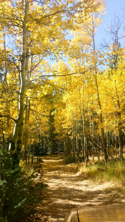
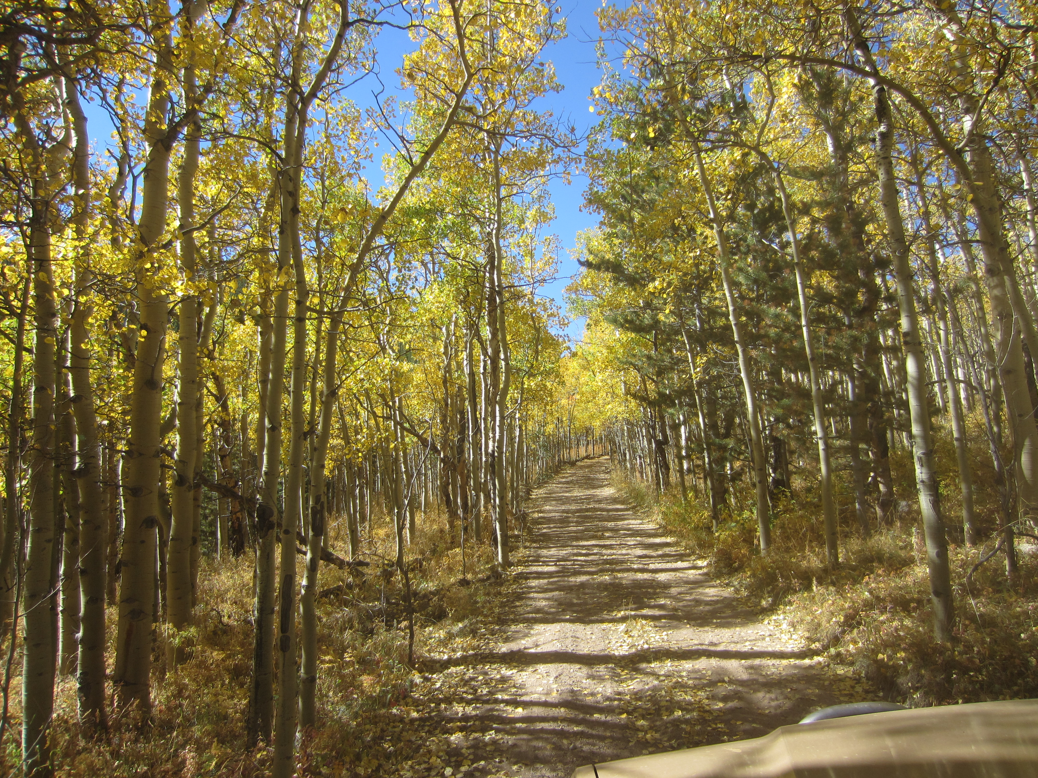
So many great trees!

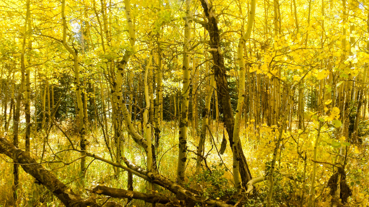 My friend Brent did a little color correction here.


 After West Magnolia, I went over to Gamble Gulch. This road is really narrow in spots. I wouldn’t want to try driving a full-size vehicle through this road.


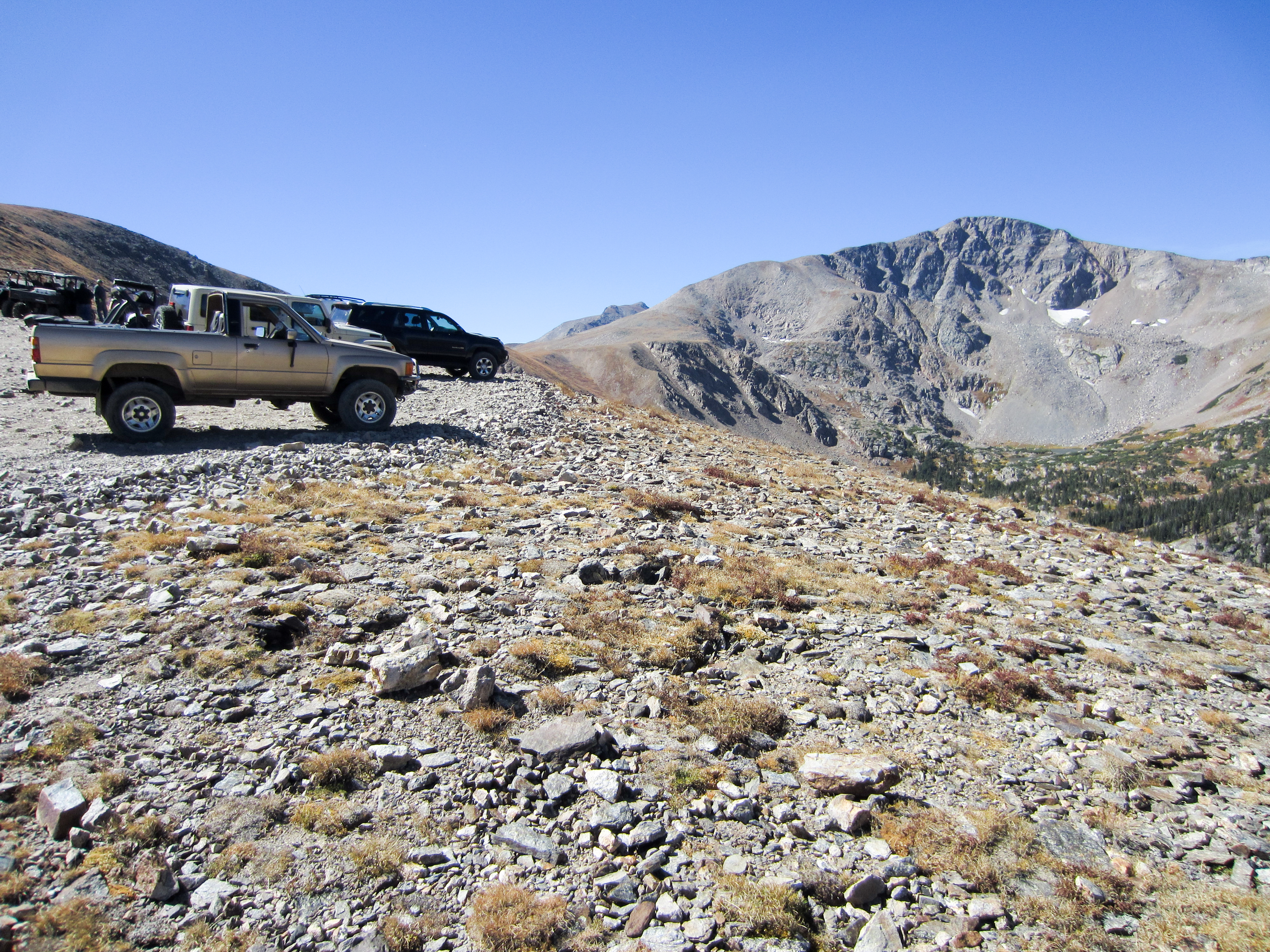
 Next I went over to the Kingston Peak Trail. There was quite a bit of traffic on this road. Lots of big built vehicles, shiny brand new Rubicons, and side-by-sides. I had the oldest and most stock vehicle on the trail this day. One couple in a Rubicon Unlimited told me they were turning around because the road was too rough for their jeep. I went around them and proceeded easily up the hill they were worried about. It’s interesting to see all these very good vehicles not get used to their full potential. I suppose in the spring when I started 4x4ing with my little 4runner, I would have also been intimidated by Kingston Peak Trail but now it seems easy to me.
 Looking north.
 This is an awesome trail! I’m guessing there was mining somewhere up here once. Now it’s a beautiful route across some really unique landscape.
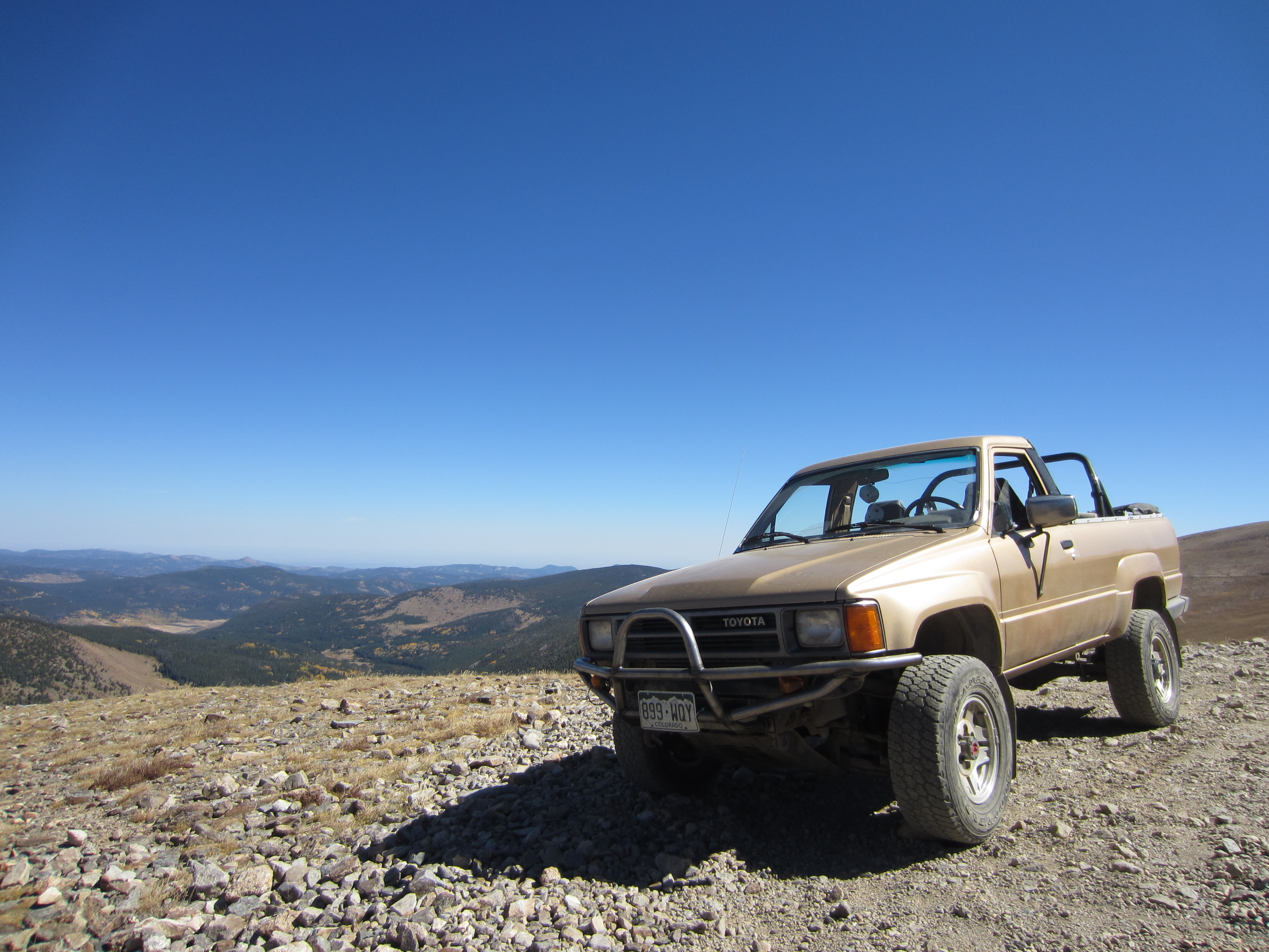 What a truck!


 Heading up a rough section with some big dislodged boulders.
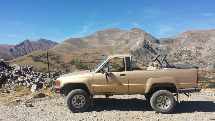
 On top of the world.
 Bumping along.

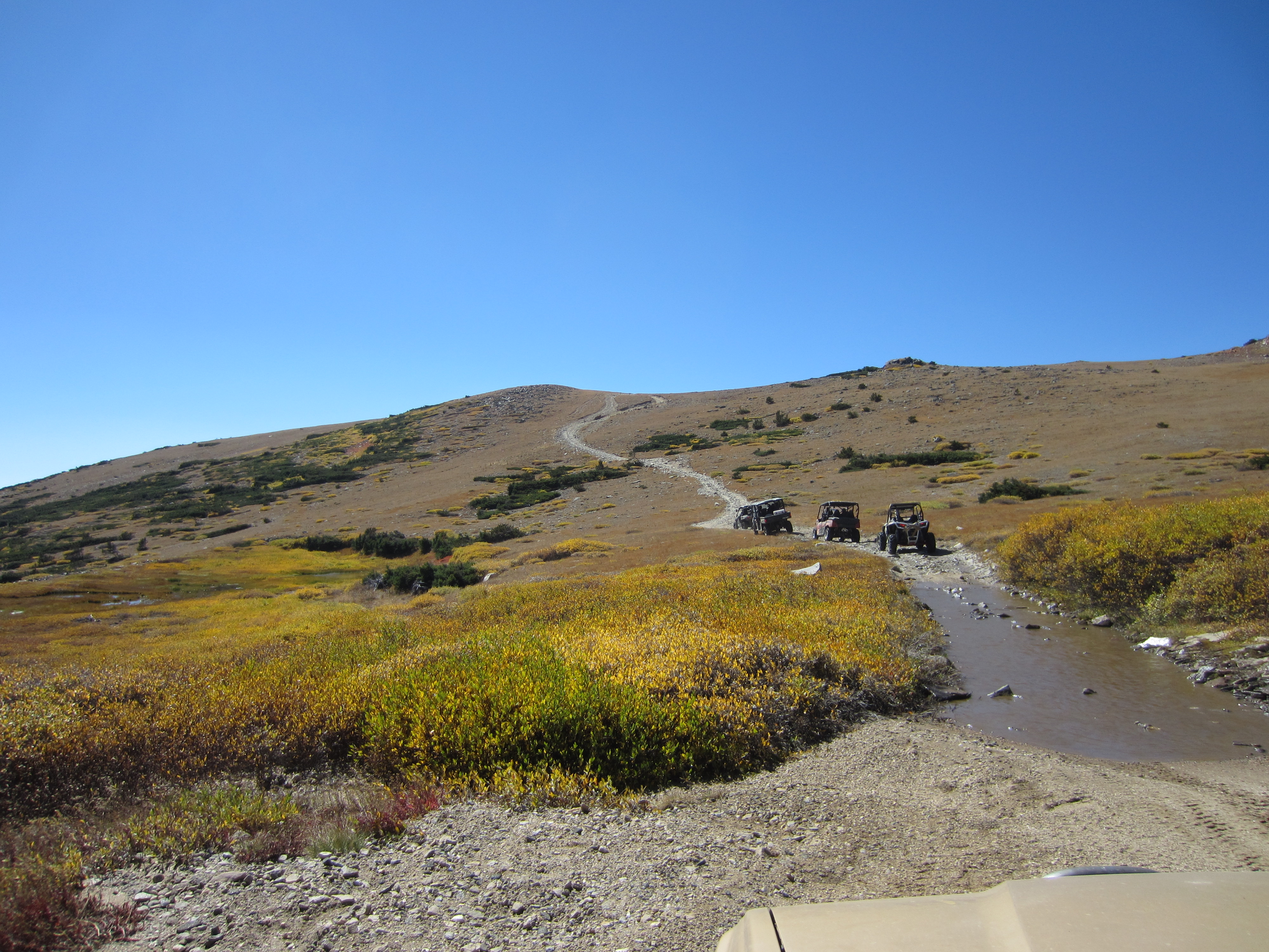
 Neat meadow.
 This hill was giving some people in front of me trouble. I crawled right up without any problem at all. I wonder how many people were running on fully inflated tires.
 Up at the rock house looking down onto Loch Lomond where we were last weekend.
 Lots of people stopped at the rock house putting their rocks on it.
 And of course my truck was the most attractive up there.
 Heading down a connector trail between Yankee Hill and Apex Road. This trail became progressively narrower and rougher as I went.
 Big loose jumbled rocks that I had to slide down. Very steep, very rough.
 Heading down toward Apex.

 Back on Apex Road heading up toward Gamble Gulch Road.
 Great colors!
 Up at the top of Gamble Gulch Road.
 Very pretty.
 An old mining site.

 Looking down into the valley above Rollinsville.
 This was a nice, easy road. I ran into a couple in a Jeep who had the same book I do. I helped them navigate down to the highway. I thought they were going to follow me to the next trail but we didn’t end up in the same place. Next time!
 With some daylight left, I decided to go up the east side of Rollins Pass. This road is really busy and has all sorts of passenger cars really high up on it. I’m glad I went late in the day because it would have been even worse during the middle of the day.
 Big old mine entrance near the lake.
 Kingston peak to the south (I think).
 Up at the rockfall at the cut about a half mile before the closed tunnel. I’m surprised no one has gone up with some explosives and opened the trail back up again. It certainly won’t reopen as long as Boulder County has anything to say about it.
 The infamous tunnel plus the lake just below the tunnel.
 Looking back south where my truck was parked.
 It was at this point that I found the starter in my truck wouldn’t work. I initially figured that the truck had simply heat soaked the starter like what had happened in the summer going to California. I poured water on the starter and waited. Still nothing. I tried roll starting it in reverse. The grade wasn’t steep enough to do that very well. Then I looked around more, checking fuses and whatnot. Then finally I discovered a loose wire in the engine bay. Some quick splicing and I was back in business. It took me a little over an hour to figure out what was actually wrong.
 Looking back at the tunnel on the way down.
 Sunset.
 I saw a big moose in the uppermost meadow on the way down. Neat!
 Nearly full moon rising.


Looking down into the valley above Rollinsville. By the time I got down to the staging area by Moffat Tunnel, it was late enough and dark enough (especially with my puny stock headlights), I decided to air up my tires and head down to Golden. Had I more time, I would have reverse-run West Magnolia or maybe gone up Mammoth Gulch or tried Jenny Creek. Next time!