 We headed west on I-70 toward the exit for Loveland Pass. The Rockies along the spine of the continent loomed overhead.

Heading up the pass.


We stopped at the summit. The pass is at 11,990 feet. We walked up a small hill to reach 12,000 feet.

Avalanche control is done using long range weaponry in this part of the world.

Skiers and snowboarders were riding fresh powder in the bowls and basis to the north of Loveland Pass along the continental divide.

These two vertical lines on Mount Bethel north of Loveland Pass were very curious-looking. We couldn’t tell what caused them to be so straight. Satellite imagery of the area makes it look very man-made. According to the internet, it has two snow fences to protect I-70. One of these days I think I will hike up the mountain to see just exactly what makes those two lines.

At 12,000 feet.

A 360 degree panorama from the summit. The approach from the east side of the continental divide is in the middle of the photo.

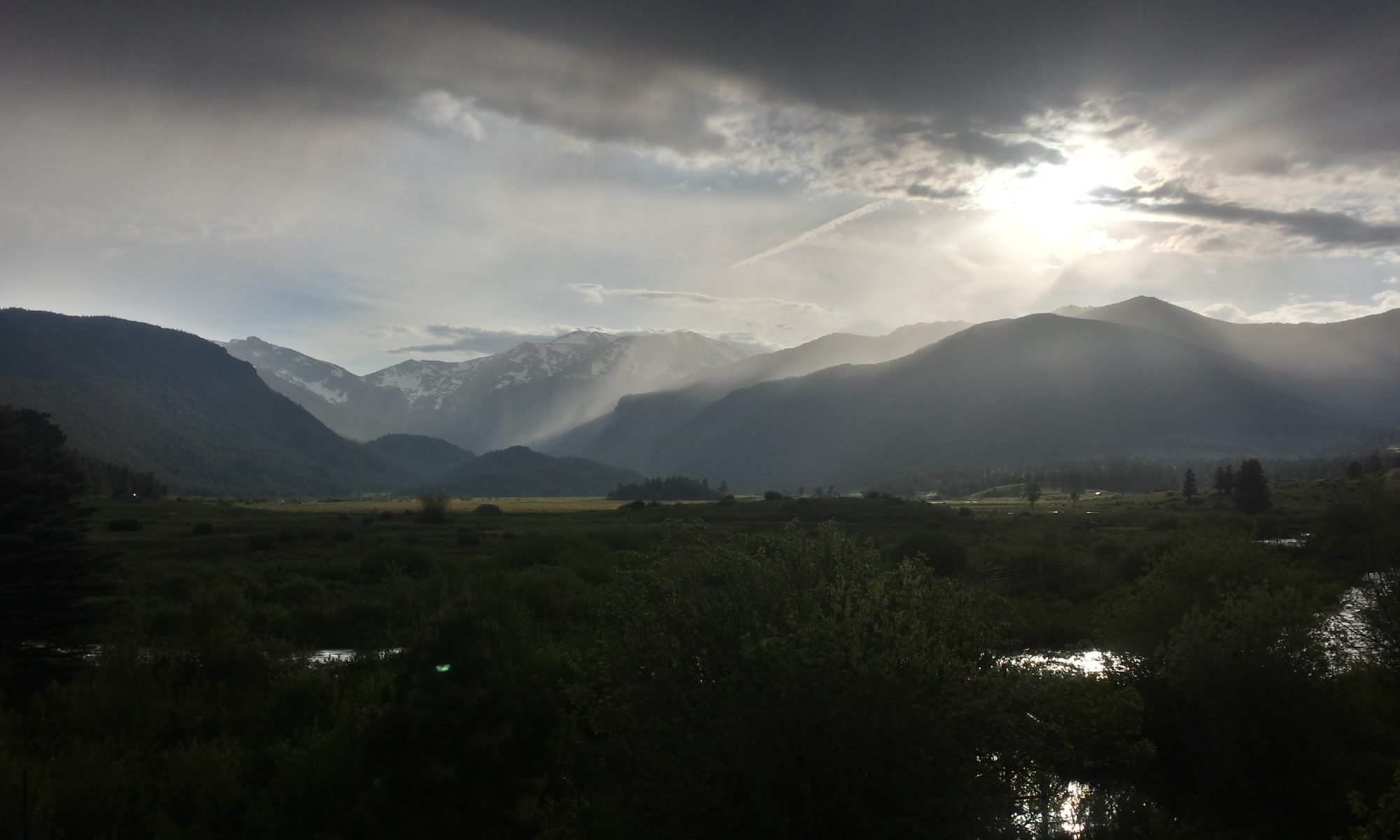
Heading down the west side of the continental divide.

Looking toward the western drainage and the Pacific Ocean.
 One of the many ski resorts that dot the mountains along the continental divide.
